
📷 Galdhopiggen
Europe
Galdhopiggen
Solid
→stable
Scroll for happiness
Last Snowfall
Oct 30
todayPast 24 Hours
0cm
Past 48 Hours
3cm
Past 10 Days
22cm
7-Day Forecast
2cm
Snow Depth
1cm
ModeledLocal Snow
SnowSure Forecaster · October 30, 2026 · How we forecast →
2cm forecast over the next 7 days
Galdhopiggen is looking at 2.3cm over the next 7 days, with the biggest day on Sunday.
Short-Term Forecast
The multi-model blend shows 2.3cm over the next 72 hours (Friday 0cm, Saturday 0.1cm, Sunday 2.2cm). The biggest day is Sunday at 2.2cm.
Extended Forecast
The 7-day window totals 2.3cm. Models disagree by 5.2cm on the window total (7.4 models contributing on average), so treat the figures as a range rather than a promise. Best window: Sunday.
Yesterday: A steady snowfall builds through midweek.
Storm Watch · europe
Early-November North Atlantic System
The prediction
Galdhopiggen
6cm0–11cm across the models
1 resort in the path, 6cm at the biggest. Watching — the models see it but do not yet agree closely.
Forecast discussion
Galdhopiggen is in the path of the Early-November North Atlantic System.
We predict 0–11cm, most likely 6cm, over 10–12 Nov, modelled at the summit, 2,200 m. The biggest day is 5cm on 11 Nov. Day by day: snow Wed, Thu.
Forecast, not observation. Every number here is the same daily series the chart below and Local Snow read.
Snow by day
Nov 9 – Nov 13, with a day either side. For each resort: where the freeze line sits against the mountain, then what falls — snow in cm, rain in mm — and the day read from those two numbers.
Galdhopiggenbase 1,850 m · summit 2,200 m
6cm snow
Modelled at the summit, 2,200 m · snow to the base
linem
/ raincm · mm
Mon
Nov 9
Snow
Tue
Nov 10
Dry
Wed
Nov 11
Snow
Thu
Nov 12
Snow
Fri
Nov 13
—
snow Wed, Thu
snowrain low, snow highraindryThe dots are the freeze line — the height where rain turns to snow. Solid: straight from the models. Hollow: estimated from temperature. Above the summit line it rains on the whole mountain; below the base line it snows all the way down. Blue bars are snow in cm, amber bars rain in mm; the totals above are their sums.
Adequate snow - check forecasts before booking.
Currently, Galdhopiggen is experiencing mainly clear conditions with a temperature of -6°C. The 7-day outlook indicates a modest 2cm of snowfall, allowing for planning as the resort prepares for its scheduled opening on May 8, 2026.
AI-generated summaryDepth
1cm depth — upper mountain may be better.
Recent
In the past week, 37cm of snowfall has been recorded.
Forecast
2cm in the next 7 days.
Historic
Season-to-date totals are currently at 67cm, which is in line with early season expectations compared to the 5-year average of 78cm.
Data updated Fri, Oct 30, 09:05 PM UTC
Current Conditions
Reported Fri, Oct 30, 09:05 PM UTC
Terrain Open
Lift and run counts not reported
25 runs · 1 lifts — this field does not publish live open counts to SnowSure.
- Lifts– / 1
- Runs– / 25
Ops signals
- ●Freezing level below base — snowmaking window open
- ●Cold summit temps — snow preservation favorable
Snow Summary
Updated Oct 30 at 9:05 PM
Days 8–14 and every model are in SnowSure Pro.Unlock with Pro
No measurement at mid height (2,025m) reached us: past snow shown is the model's estimate at the summit.
Maps
All maps for Galdhopiggen →
Webcams & Proof of Powder
All webcams & Proof of Powder →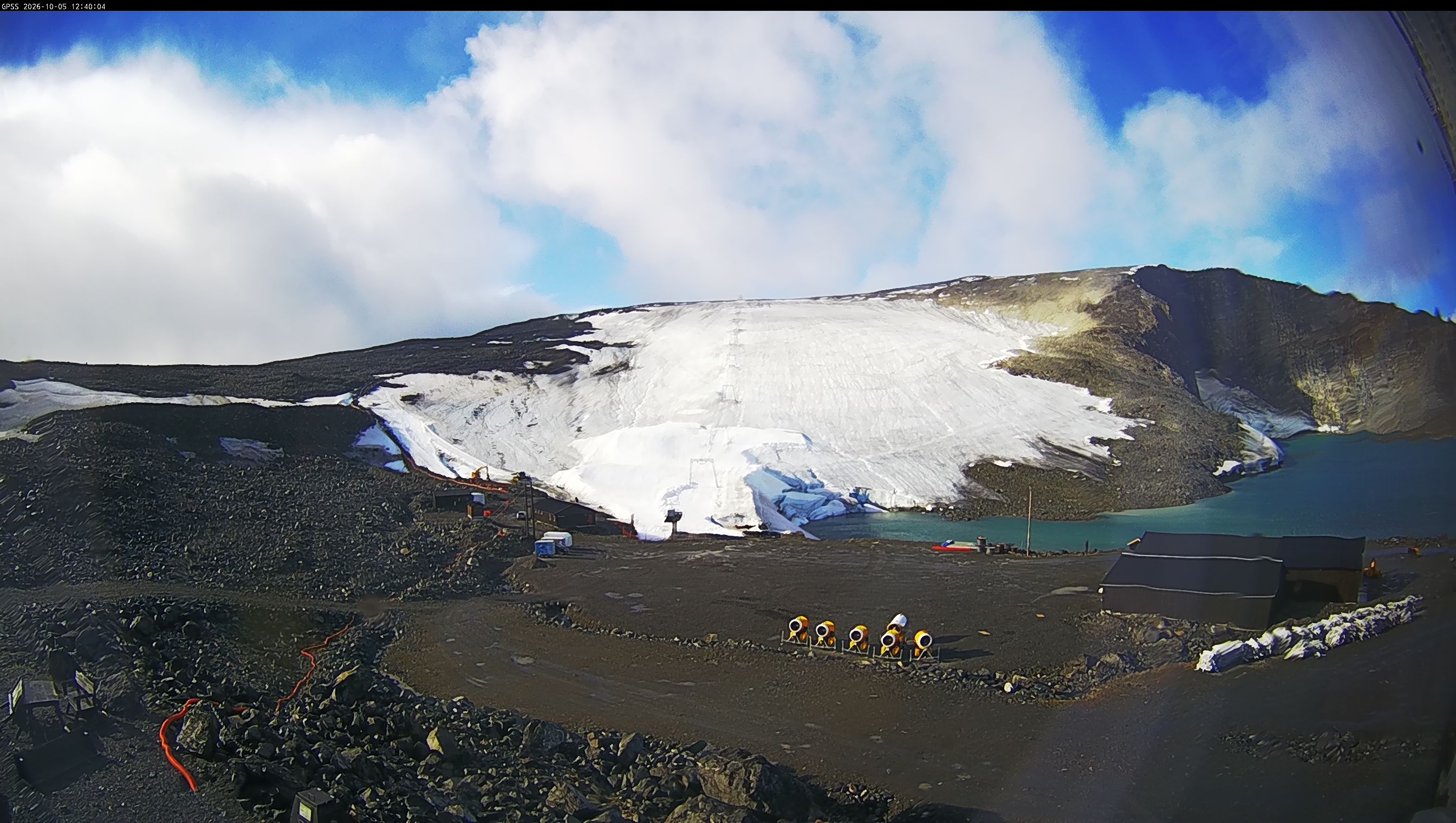
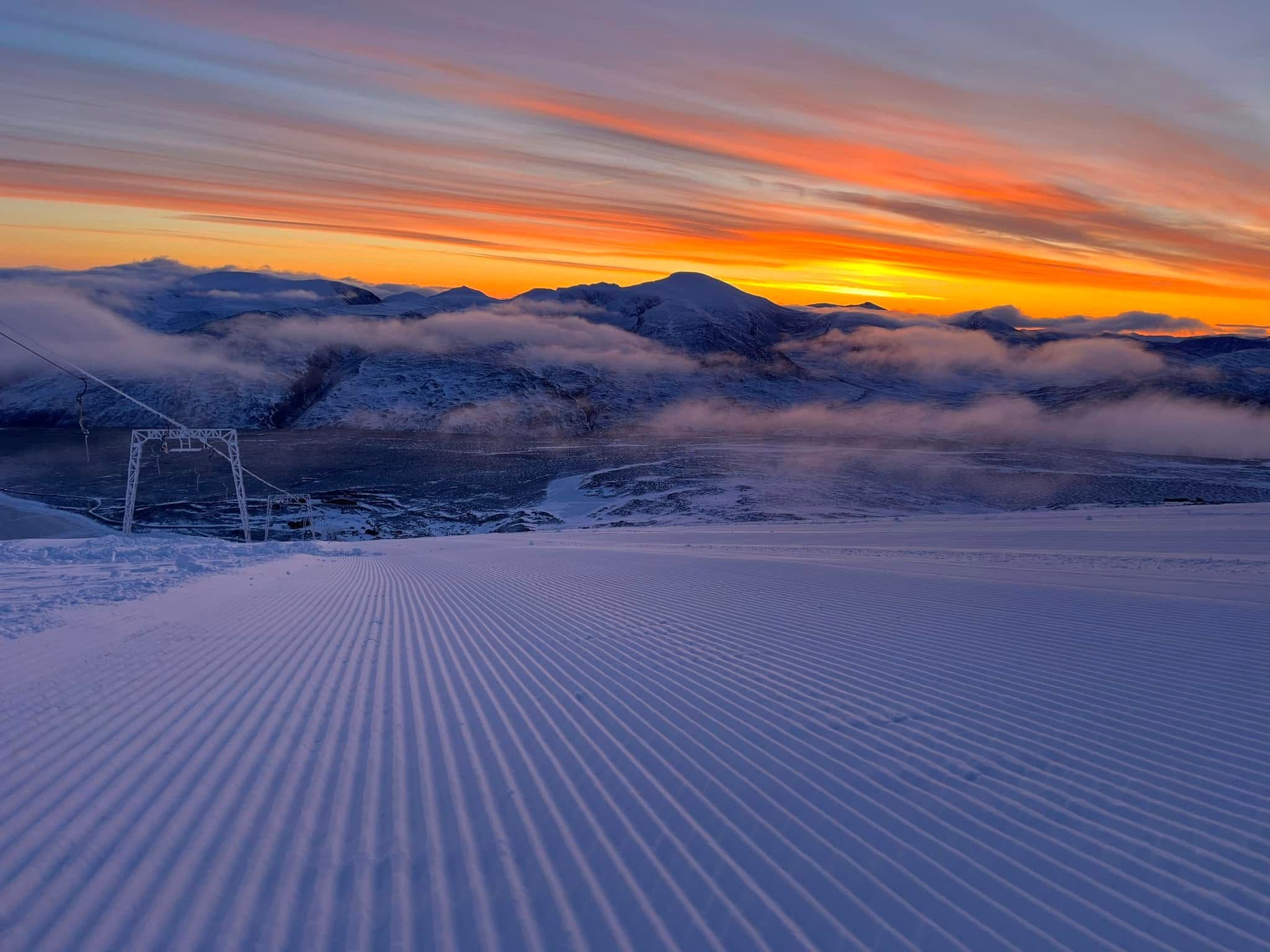
About Galdhopiggen
Galdhøpiggen Summer Ski Center is located on Norway’s highest mountain, Galdhøpiggen, offering unique summer skiing on natural glacier snow. The resort features a long ski season from May to July, with slopes suitable for alpine skiing, snowboarding, and training for all levels. Its high-altitude glacier setting provides reliable snow conditions and panoramic views, making it a distinctive destination for summer snow sports enthusiasts. Key amenities include ski rentals, a café, and guided glacier hikes.
Read the full resort guide →Frequently asked questions about Galdhopiggen
- Where is Galdhopiggen?
- Galdhopiggen is a ski resort in Norway.
- How high is Galdhopiggen?
- Galdhopiggen runs from a base elevation of 1,850 m (6,070 ft) to a summit of 2,200 m (7,218 ft), giving a vertical drop of 350 m (1,148 ft).
- How big is Galdhopiggen?
- Galdhopiggen has 25 marked runs and 1 lifts.
- When is ski season at Galdhopiggen?
- Galdhopiggen typically operates from May to November. Exact opening and closing dates shift each year with snowfall — check the resort's current season dates before booking.
- How much snow does Galdhopiggen get in a typical season?
- Galdhopiggen averages 18 inches / 46 cm of snowfall in a typical season. Any individual season can run well above or below that.
- How will El Niño affect Galdhopiggen in winter 2026-27?
- El Niño Signal Rank: #254 of 488 SnowSure resorts · Tier D · strong-event signal -3% vs its own 30-yr average. In the three strongest El Niño winters on record ('97-98, '15-16, '23-24), Galdhopiggen averaged -3% versus its own 30-year snowfall baseline. Historically this is a timing play rather than a reason to stay home: aim for late winter (February–March) in winter 2026-27. Analog winters: '97-98 +6%, '15-16 -24%, '23-24 +9%. A pattern, not a promise.


